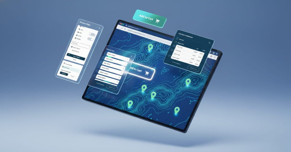
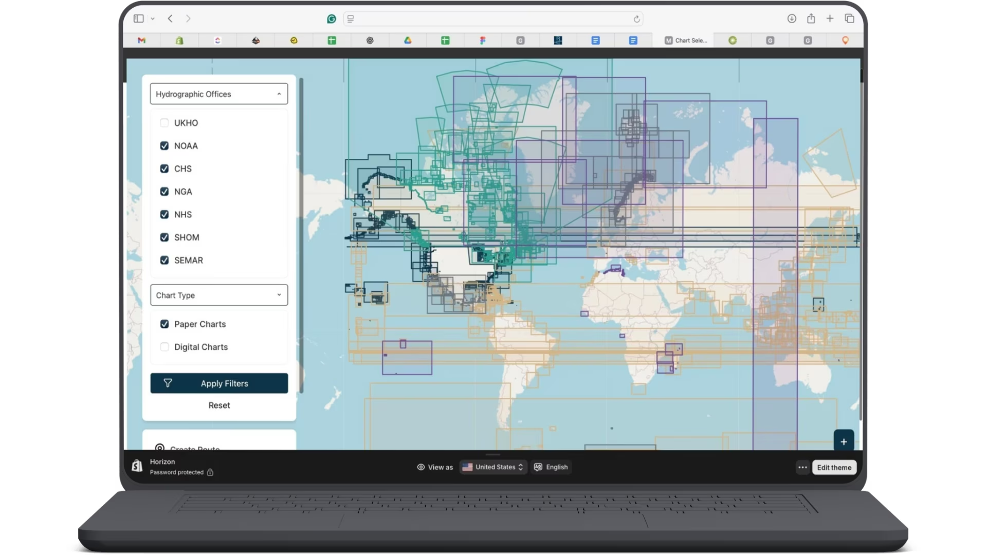
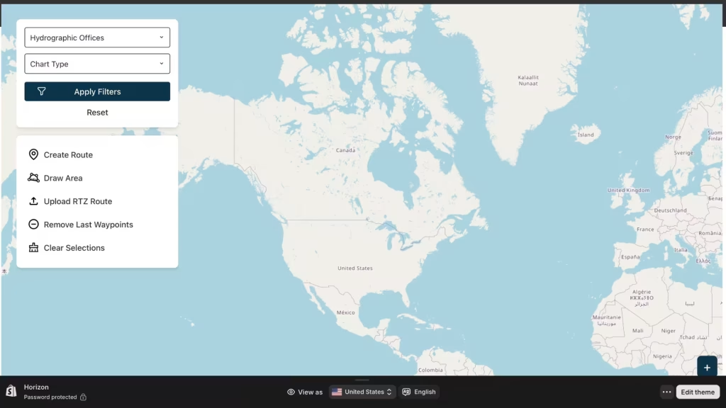
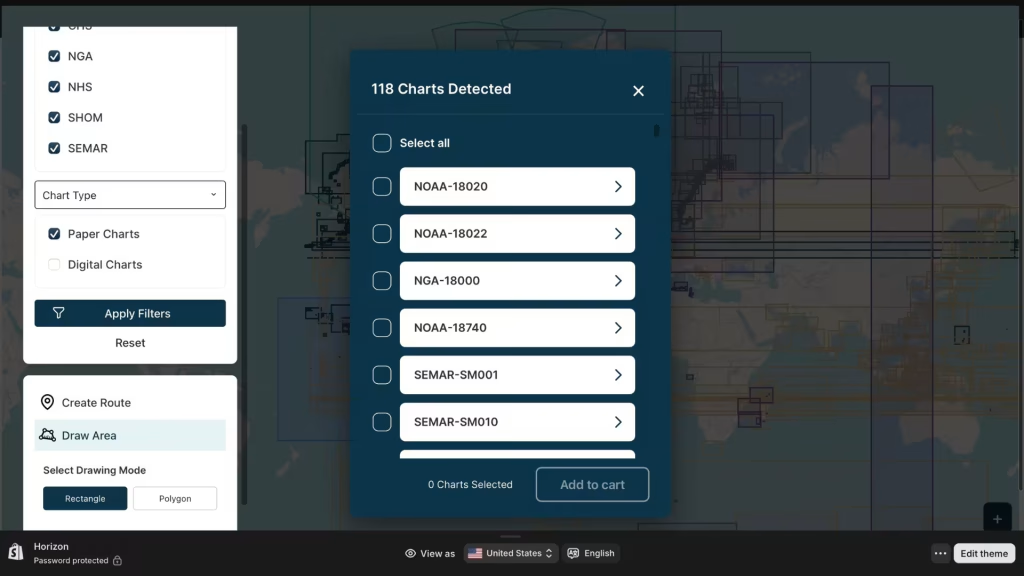
Shopify GIS Integration

A high-performance, map-based navigation catalog allowing mariners to plot routes, define custom areas, and purchase nautical charts directly within Shopify.

Shopify GIS Integration Portfolio Banner

Project Summary

Client

American Nautical Services

Industry

Maritime & E-commerce

Project Type

Shopify Integration

Scope

GIS Integration

Key Website Features

We engineered a custom GIS interface that bridges the gap between complex spatial data and user-friendly e-commerce. This allows mariners to visualize, plan routes, and purchase navigational charts seamlessly within the Shopify ecosystem.

Interactive Voyage Planning & Routing

We moved beyond static maps. Users can now plot specific waypoints to generate a voyage route. The system automatically identifies every nautical chart that intersects with the plotted route and offers them for "One-Click" addition to the basket.

Polygon-Based Chart Discovery

For users covering specific zones, we implemented a "Draw Custom Area" tool. Users can draw polygons or rectangles over the ocean; the system queries the spatial database to return all relevant metadata and charts for that specific geographic zone.

Automated RTZ File Processing

To support professional mariners, we built a feature allowing the upload of RTZ (Route Plan) files. The application parses the uploaded file, maps the trajectory, and automatically selects the necessary charts along the voyage path.

Real-Time Chart Visualization

The interface displays paper and digital nautical charts from major global agencies (NOAA, NGA, SHOM, SEMAR) with accurate boundary overlays, ensuring users know exactly what coverage they are buying.

Technical Implementation & Backend

We architected a high-performance backend using Node.js and MongoDB to handle complex spatial queries and massive data loads.

Shopify Cart Synchronization

Shopify GIS Integration Full View

We built a custom bridge between the GIS application and the Shopify Cart API. When a user selects charts via the map, the system handles the complex logic of converting spatial metadata into Shopify Product IDs, handling checkout and payments seamlessly.

Shopify GIS Integration Charts Selection

To manage the massive amount of chart data, we developed a bespoke Backend Admin Panel.

This allows the client to:

  • Manage catalog data and chart metadata.
  • Track route submissions and RTZ uploads.
  • Sync inventory with third-party sources.
Shopify GIS Integration Banner

Using MongoDB and Node.js, we created a high-performance backend capable of handling complex spatial queries without slowing down the main Shopify storefront. The architecture is designed to support real-time location visualization and future GIS enhancements.

Technologies Used

We leverage the latest and most robust technologies to build scalable, high-performance applications.

Leaflet.js

Mobile-friendly interactive maps.

HTML5

Semantic markup and structure.

CSS

Utility-first CSS framework.

Node.js

JavaScript runtime environment.

Express.js

Build web applications and APIs.

MongoDB

NoSQL database program.

Leaflet.js

Mobile-friendly interactive maps.

HTML5

Semantic markup and structure.

CSS

Utility-first CSS framework.

Node.js

JavaScript runtime environment.

Express.js

Build web applications and APIs.

MongoDB

NoSQL database program.

Have a Complex Shopify Project?

Let’s discuss how we can map out a custom solution for your business.